Mia Lithium Project Eeyou Itschee James Bay Region of Quebec
The Mia Lithium Project is comprised of 171 mineral claims, located 62 km East of Wemindji Community in the Eeyou Itschee James Bay region of Quebec. The approximately 10 kilometer (‘km’) Mia Lithium Exploration Trend (the “Mia Trend”) is located 22 km from the Billy Diamond Highway and is proximal to major hydro-powerline and all season road infrastructure.

Geology
The Project is part of the Yasinski Group of rocks, characterized by narrow “greenstone” volcanic and related sedimentary rocks. The Project is situated in the western extremity of this geological trend, known to host spodumene-bearing pegmatites.
2023 Exploration Work
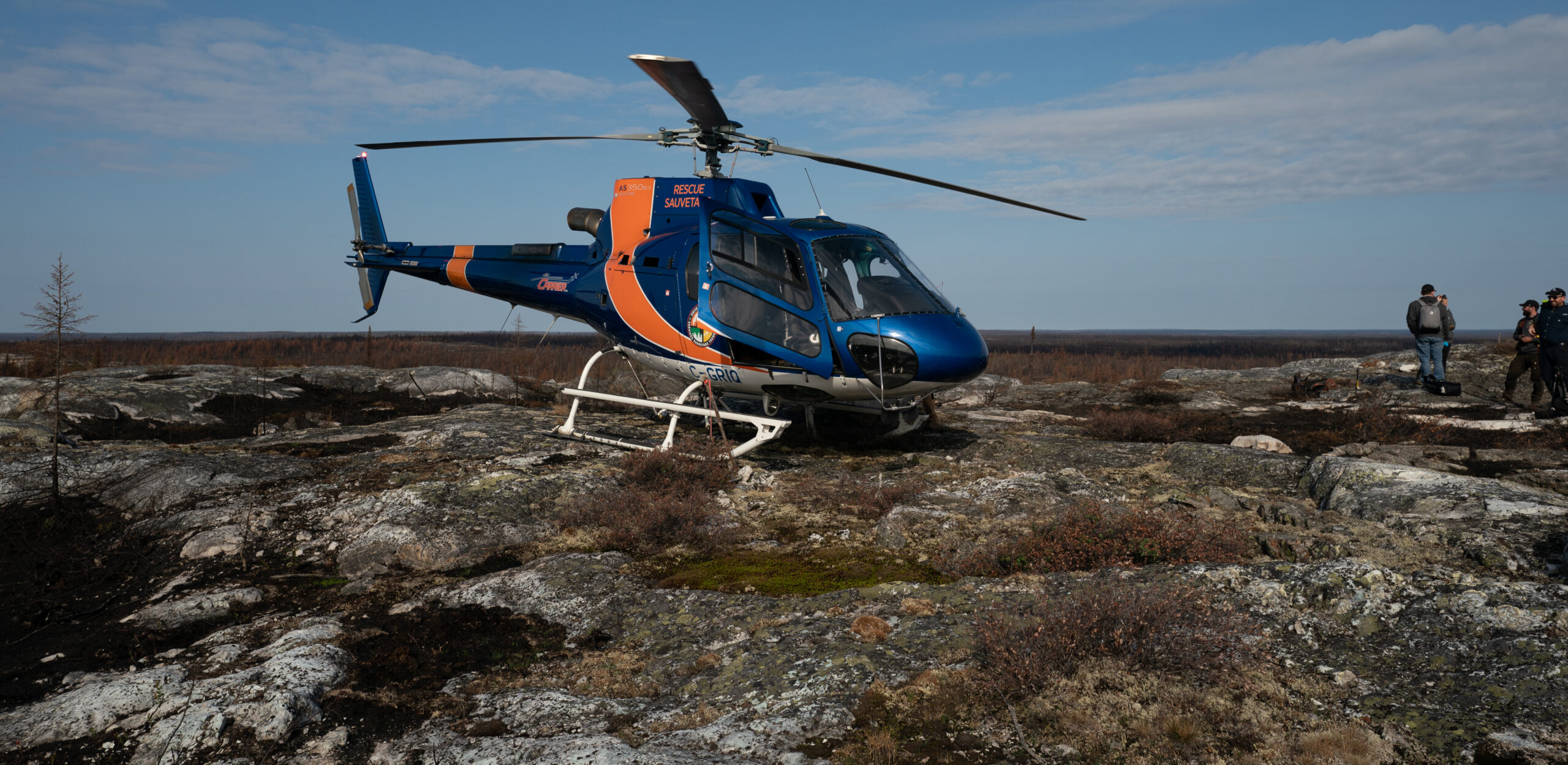
Due to extreme wildfires in northern Quebec in 2023, an abbreviated prospecting, mapping and rock sampling program was conducted.
In June, 2023, a two-day mapping and sampling program on the historically known lithium pegmatites at the Mia Project resulted in the collection of 28 pegmatite samples. At the Mia Zone, the historically mapped spodumene-pegmatite was sampled and returned 2.73, 2.05 and 0.55% Li2O which verified the 2021 and 2022 work by the Project vendors of 18 grab samples averaging 2.65% Li2O. At the Carte Zone, the historically mapped spodumene-pegmatite was sampled and returned three spodumene-mineralized samples of 2.01, 1.57 and 1.04% Li2O which verified the 2022 work by the Project vendors of 3 grab samples averaging 1.65% Li2O.
In September, 2023, 15 days of additional mapping and sampling was conducted during which additional spodumene occurrences were discovered. With the previously known occurrences at Mia and Carte, a total of 219 samples were collected during the field work and resulted in the discovery of 8 new mineralized zones for a total of 11 defined mineralized zones .
A total of 192 individual pegmatite outcrops were mapped along the Mia Exploration Trend and rock samples were collected at these sites to confirm the presence of lithium or indicator elements which may suggest the presence of lithium nearby. The majority of the pegmatite outcrops along the Mia Exploration Trend exhibit a similar mineralogy and texture compared with the outcrops that have confirmed spodumene.
The mineralized Mia Trend includes:
- MIA-1 Zone with six (6) samples averaging 1.8% Li2O and 40 ppm Ta2O5.
- MIA-2 Zone with eight (8) samples averaging 1.17% Li2O and 31 ppm Ta2O5.
- MIA-3 Zone with six (6) samples averaging 1.50% Li2O and 131 ppm Ta2O5.
- MIA-5 Zone with three (3) samples averaging 0.78% Li2O and 126 ppm Ta2O5.
- MIA-8 Zone with nine (9) samples averaging 2.07% Li2O and 30 ppm Ta2O5.
- MIA-9 Zone with three (3) samples averaging 1.90% Li2O and 66 ppm Ta2O5.
- Carte Zone with two (2) samples averaging 1.68% Li2O and 51 ppm Ta2O5.
Immediately beside the Carte Zone, five (5) spodumene-bearing boulders were also discovered. With the understanding that the glacial transport direction is from the northeast- to the southwest, the preliminary interpretations of these boulders are that they are sourced from MIA-10, being the only known other mineralized zone to the northeast or that there is a new and as-yet to be discovered zone present to the northwest.
Minimal field work was completed at the Bruce Trend to the north and the Lady Trend to the south of the Mia Trend during 2023. Geochemical results (tantalum, rubidium and cesium) from both the Bruce Trend and the Lady Trend affirm each trend as being prospective for lithium-bearing LCT-style pegmatite mineralization.


- Link to excel sheet with Mia Project rock sampling results 2023
- Link to excel sheet with Mia Project pegmatite intervals (Fall 2023 & Winter 2024)
- Link to excel sheet with Mia Project drill collar summary (Fall 2023 & Winter 2024)
Inaugural drill program – Fall 2023 & Winter 2024
In fall 2023, a total of 31 drill holes were completed on the Mia Trend for approximately 5,601 metres. One drill rig was used to test the main MIA 1, 2 & 3 zones (17 holes) while the other rig tested the Carte Zone (8 holes) and the greater Mia Trend (6 holes at zones MIA 7,8 & 9).
The work completed at the MIA 1 Zone successfully traced the shallowly-dipping pegmatite between the southern fence of holes (MIA23-003/005/006/001) and the northern fence of holes (MIA23-021/024), for a north-south distance of 250 m and an east-west distance of approximately 90 m. Initial interpretations suggest that the same pegmatite bodies may extend eastward toward holes MIA23-014/016A at the MIA 2 Zone for an east-west distance of 300 m. The other mineralized bodies located vertically above will require additional work to model.
Drilling at the Carte Zone, which is at the eastern end of the 10 km Mia Trend, has defined two shallowly-dipping pegmatite bodies. The near-surface pegmatite body ranges in thickness between 3.4 and 7.3 m (core length).
Drilling resumed in January, 2024 after a pause for winter freeze up. An additional 20 drill holes were completed on the Mia Trend for approximately 3,085 m with 11 drill holes being completed on Mia Zones 1, 2 & 3 and 9 drill holes were completed along the remainder of the Mia Trend for a total of 8,685 m drilled and 50 drill holes.
The primary objective of the Winter Drill Program was to follow up on the fall 2023 drilling along the Mia Trend, with a total of 20 drill holes completed for approximately 3,085 m. One drill rig was used to test the main Mia 1, 2 & 3 zones (the “Mia Zone”) with 11 drill holes; while a second drill rig tested the greater Mia Trend with nine holes at the Mia 5, 6, 7, 8 & Carte Zones.
Drill results at the Mia Zone confirmed the previously announced spodumene mineralization within a continuous pegmatite zone that dips gently to the north (see news release from April 25, 2024; Hole MIA23-004: 17.8 m at 1.51% Li2O, including 12.2 m of 2.16% Li2O).
Thickness of the mineralized zone varies from 8 to 20 m and extends roughly 600 m east-west and roughly 375 m north-south. The pegmatite body appears to be open to the west, east and north. The Winter Drill Program confirmed the continuity of the mineralization in some areas of the zone, while also showing some grade variability at the northern portions of the pegmatite at depth, with pegmatite intervals as expected but without significant lithium grades in holes 42, 44, 46, 48.
The results of the greater Mia Trend have revealed significantly wide pegmatite intervals, with relevantly anomalous LCT-style geochemistry, but without significant lithium intervals. For instance, drill hole MIA24-035 at the Mia 8 Zone intersected 14.9 m of pegmatite, followed by 2.6 m of metasediments, followed by another 20.6 m of pegmatite. The geochemistry revealed elevated rubidium of 989 ppm and only 96 ppm lithium. Additionally, drill hole MIA24-049 at Mia 5 Zone intersected three near-surface pegmatites (1.4 m wide, 2.9m wide and 0.8 m wide) with anomalous lithium (723, 76 and 57 ppm Li, respectively), anomalous rubidium (1,795, 996 and 1276 ppm Rb, respectively) and anomalous tantalum (107, 59 and 116 ppm Ta2O5, respectively); with potassium-rubidium ratios (K/Rb) of 9, 22 and 7, respectively. The positive indicator-geochemistry in drill-holes, combined with anomalous surface geochemistry, indicates the potential for the discovery of additional mineralized zones along the Mia Trend. Drill holes 32, 34, 35, 37, 38 and 41 to 50 all returned elevated but not significant amounts of lithium.
Analytical Methods and QA/QC Protocols
All drill core samples were shipped to SGS Canada’s preparation facility in Val d’Or, Quebec, for standard sample preparation (code PRP89) which includes drying at 105°C, crush to 75% passing 2 mm, riffle split 250 g, and pulverize 85% passing 75 microns. The pulps were shipped by air to SGS Canada’s laboratory in Burnaby, BC, where the samples were homogenized and subsequently analyzed for multi-element (including Li and Ta) using sodium peroxide fusion with ICP-AES/MS finish (code GE_ICM91A50).
A Quality Assurance / Quality Control protocol following industry best practices was incorporated into the sampling program.
Qualified Person
Neil McCallum, B.Sc., P.Geol, is a registered permit holder with the Ordre des Géologues du Québec and Qualified Person as defined by National Instrument 43-101 – Standards of Disclosure for Mineral Projects, and has reviewed the technical information in this news release. Mr. McCallum is a director and VP Exploration of Q2.
Mia Lithium Project – Winter 2024 Drill Program


Mia Lithium Project – Fall 2023 Drill Program


Mia Lithium Project Sampling 2023


June 2023 – Carte Zone


June 2023 – mia lithium Project


April 2023 – Mia lithium Project


